We provide space for companies and institutes to present themselves and for instrument manufacturers and distributors to draw attention to the latest trends. We wish to promote sharing experience and opinion amongst aerial surveyors, allowing them to present their newest works and the operation and history of the surveying workshops they represent.
Venue of the conference: Budapest
Date: 2th Septembre 2021
Sections
The conference introduce aircraft and UAV surveys and the data and maps derived from them.
Photogrammetry
Software, experience and measurement results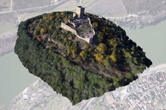
Manned fix-winged airplanes and helicopters
Interpretation
Interpretation of remotelly sensed data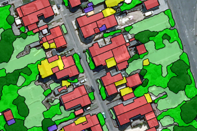
Evaluation and image analysis in the fields of agriculture, municipality management, waste management, vegetation research, nature conservation, environment protection, mining surveys, disaster prevention, hydrology and archeology.
Professional history
of the aerial cartography and photogrammetry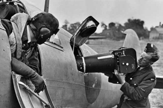
The history of aerial surveys; an introduction of organisations, companies and notable persons within the trade.
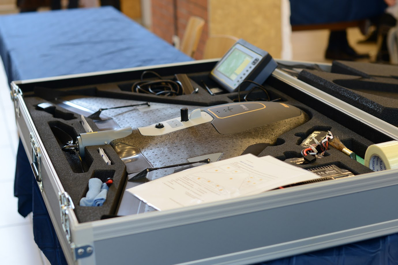
Unmanned aerial vehicles (UAV)
Aerial surveys by fix wing aircrafts, copters, airships
Experience with the various models, Do-it-yourself, Rights and possibilities in various fields
Aircraft
Aerial surveys by manned aircrafts
Experience with precision flights, introduction of the various models, modifications and database
Sensors
Aerial cameras, scanners and other equipement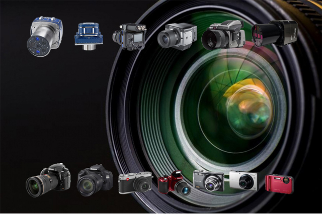
Introduction of the various models, measurement results and tests On board measuring equipment; what to use in case of UAVs?
Field instruments
GCP and Controll point measurements
Equipment of 3D field surveys, collection of ground control points and control points, geodesy
Poster session
The dimensions of the posters:841 x 1189 mm - 33.1 x 46.8 in
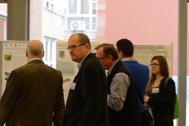
The presentation of research information by an individual or representatives of research teams by A0 format poster
Professional history

Presentations

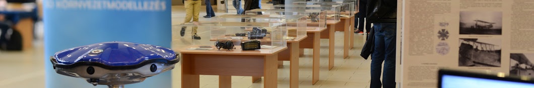
Exhibition

Workshop

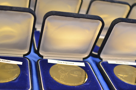
Award
Exhibition
Copyrights © 2016